MedusaIoT is a non-profit association designing and building open-hardware instrumentation for marine research: cetacean acoustic monitoring, non-invasive biologging, and low-cost embedded systems. Beyond the technical side, it provides scientific advice on field projects and develops outreach and educational materials, in collaboration with research institutions such as CIRCE, the Universidad de La Laguna, and the Greenland Institute of Natural Resources.
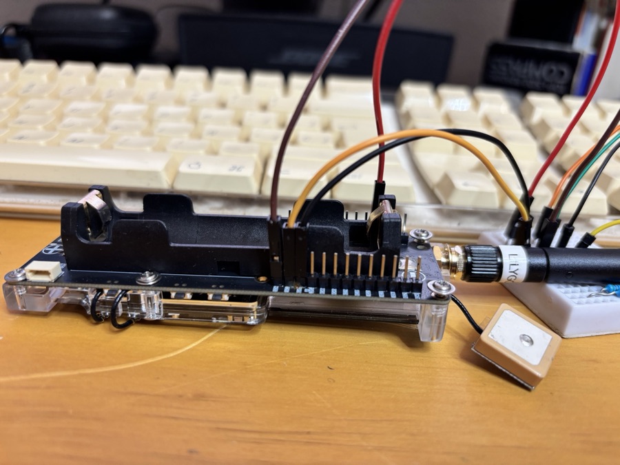
Firmware and physical cluster for TDOA-based acoustic geolocation of orcas. The firmware generates 22 kHz synchronization pulses via LEDC, with GPS-synced RTC, IMU/magnetometer logging and CSV output to SD; power management over the AXP2101 PMIC, with the acoustic driver migrated from a single transistor to a DRV8833 H-bridge for differential drive. The cluster is a 1 m triangular PVC frame with three HydroMoths and a central piezoelectric emitter, in a watertight enclosure designed for permanent submersion.
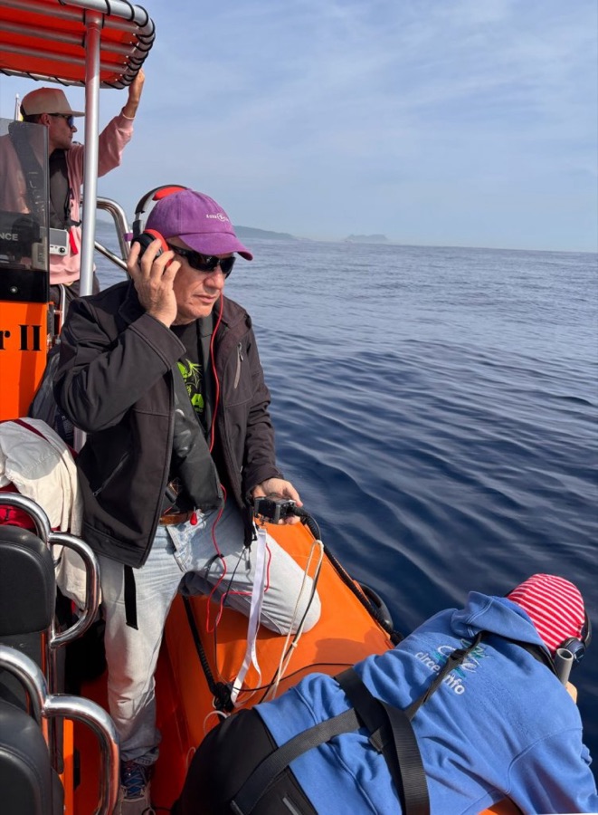
Low-cost underwater parabolic microphone for locating sperm whales by the direction of their echolocation clicks (10–200 kHz). An Aquarian H2D hydrophone sits at the focus of a 30 cm PLA-printed dish. First prototype tested in the Strait of Gibraltar with CIRCE, refined in Greenland; a third version is now in development, building on that experience.
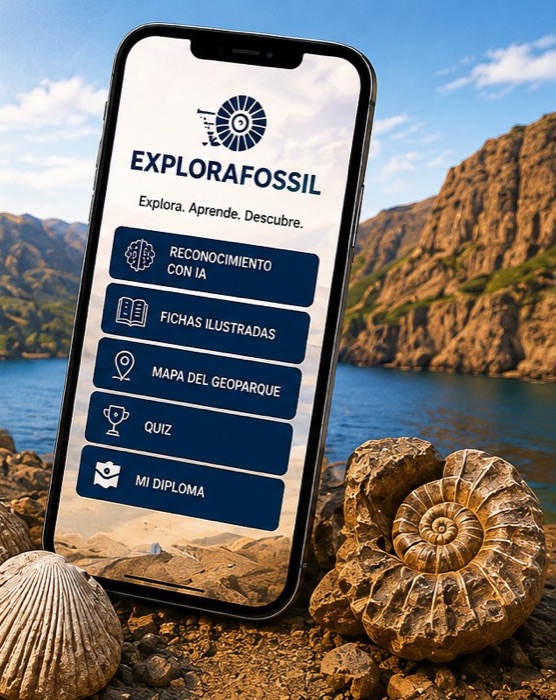
Interactive app for discovering the marine fossils of the Geoparque de Granada: photo-based AI recognition, bilingual fact sheets for 14 species, dig-site geolocation, and a quiz with a downloadable diploma.
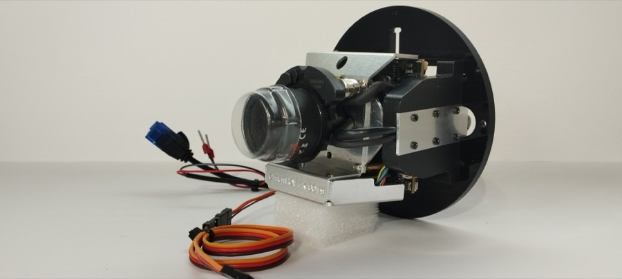
Temporary suction-cup tag with a 4K camera built on a Sony IMX678 sensor, a Bar100 pressure sensor (rated to 1000 m), a temperature probe and a 6-axis IMU. Streams telemetry over LoRa to the tracking vessel while attached to the animal. Developed in collaboration with CIRCE.

Re-entrant auxetic honeycomb in a TPU/PPA-CF/EPDM sandwich to absorb the impact of sailboats against orcas in the Strait of Gibraltar. Interactive HTML parametric configurator to adjust cell geometry to rudder diameter.
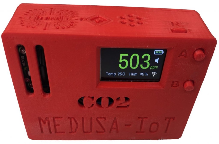
Research, design and deployment of a CO2 monitoring system across 40 classrooms at Instituto Velázquez during the pandemic: scientific motivation (Harvard/CSIC/WHO), prototyping with NDIR and Sensirion SCD30 sensors, experimental validation of the air changes per hour (ACH) rate, a custom dashboard, automatic calibration via Python/Selenium, and open firmware for a DIY replica.
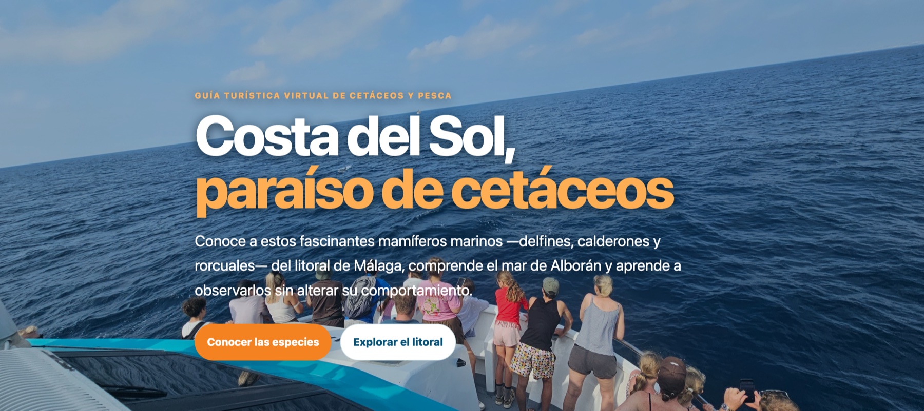
Virtual tourist guide for responsible cetacean watching along the Málaga coast and the Alboran Sea. It organizes the coastline —from Punta Chullera to Maro–Cerro Gordo— into three geographic sectors, with illustrated fact sheets for five species (bottlenose dolphin, common dolphin, striped dolphin, long-finned pilot whale and fin whale), good-practice protocols based on Spanish RD 1727/2007, and a directory of verified tour operators.
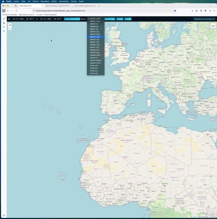
Web tool for tracking the movements of satellite tags used in CIRCE's cetacean tagging projects on a map. The Python/Flask backend connects to the CLS/Kinéis API: given a date range, it returns which tags have sent messages and how many. Selecting a tag downloads all of its positions and draws the animal's track on a Leaflet map, either terrestrial or bathymetric. Next step: adding sensor data (depth, temperature) to also visualize vertical behavior.
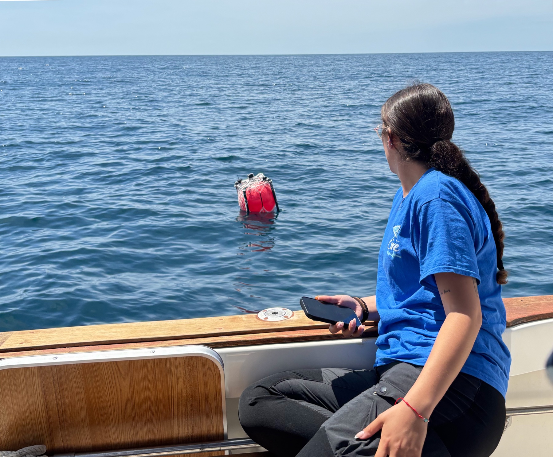
Passive acoustic monitoring system using a drifting buoy, developed with Loro Parque Fundación, CIRCE and Universidad de La Laguna. Deployed near Barbate in May 2025, it allowed four classes of sounds from the Iberian orca's vocal repertoire to be described for the first time and detected fin whale calls, leading to a publication in the Journal of Marine Science and Engineering (MDPI).
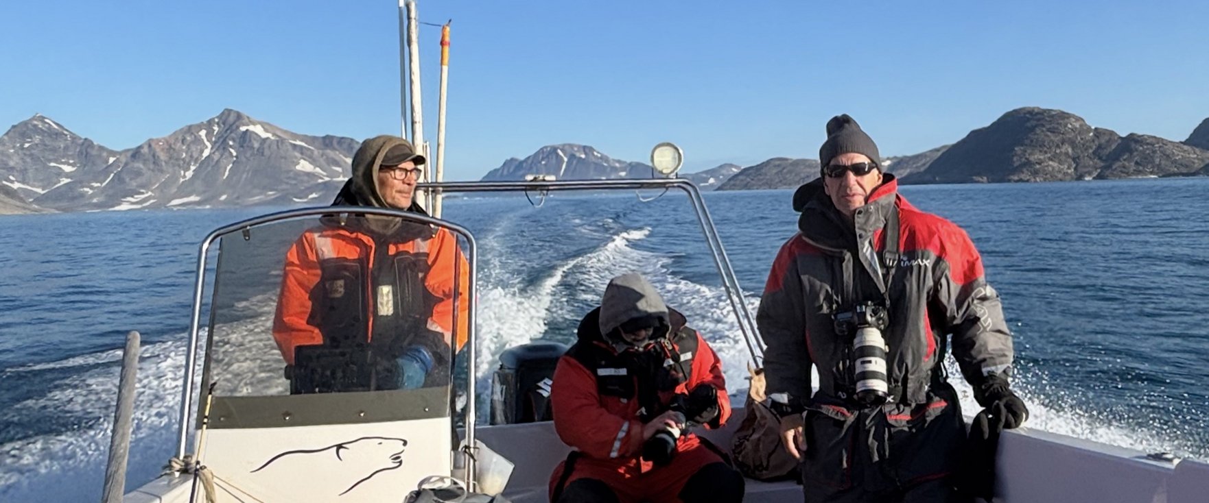
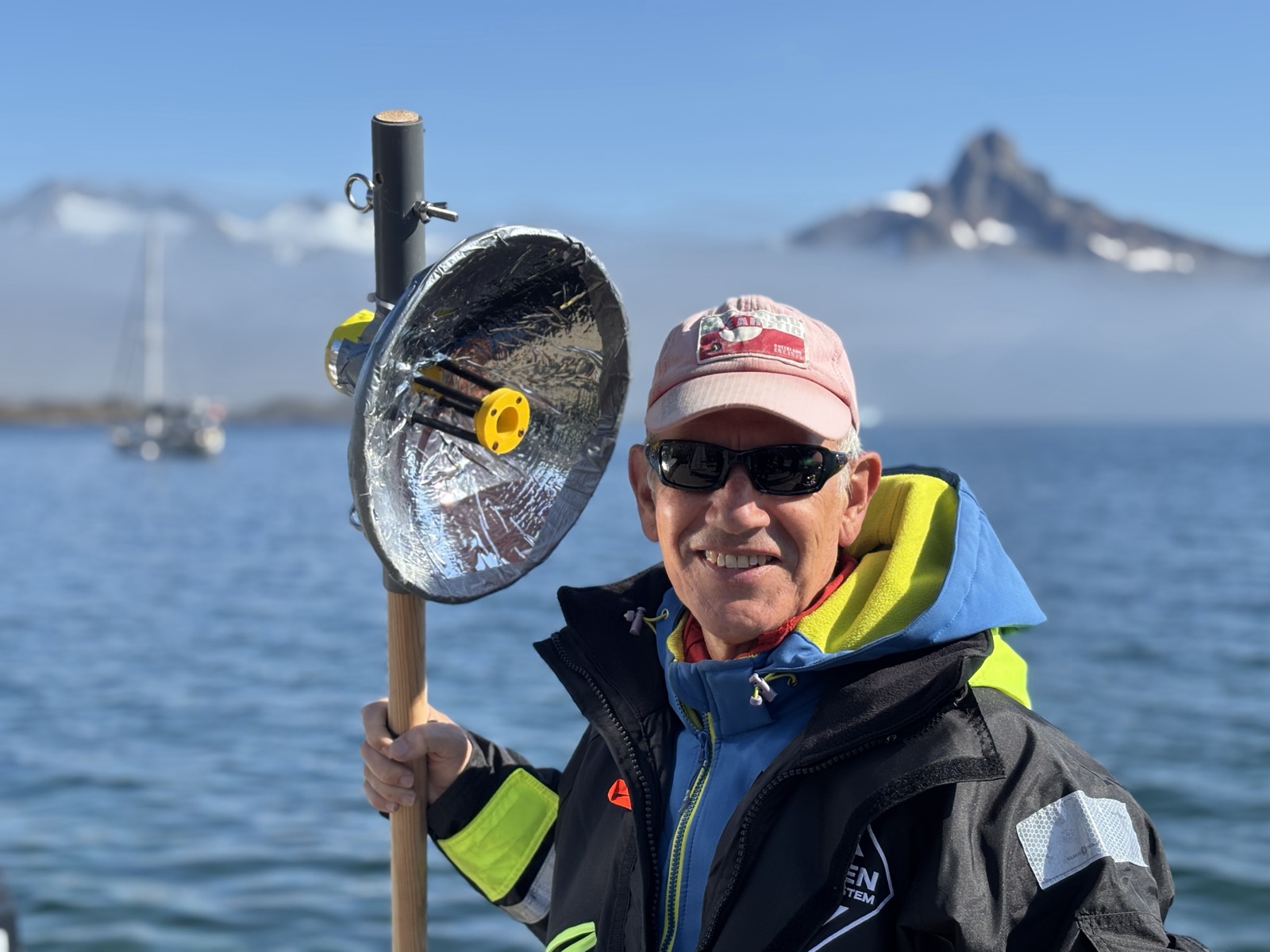
Paco Baringo is a physicist and programming teacher with over 25 years of experience. He designs and builds acoustic instrumentation and embedded systems for marine research, and also handles the fieldwork —diving, boat handling and drone piloting— on every deployment, working directly with researchers from Universidad de La Laguna and CIRCE. He's also a diving instructor, yacht skipper, naturalist and underwater photographer, author of several diving guides and underwater documentaries.